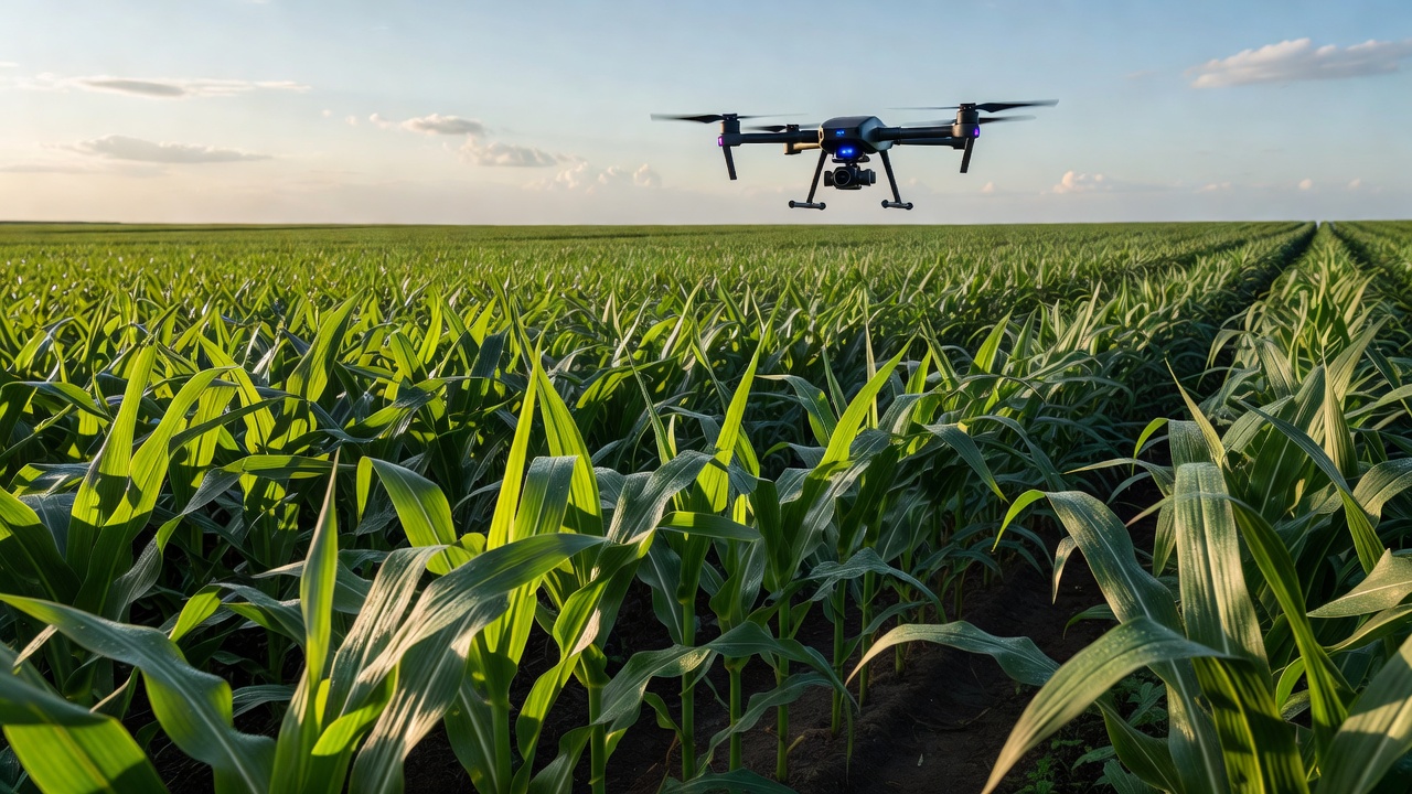
The Aerial Advantage in Agriculture
To manage hundreds or thousands of acres effectively, farmers require data that cannot be gathered from eye-level. Historically, this meant relying on expensive satellite imagery or manned aircraft flights, both of which suffer from cloud cover obstruction, low resolution, and delayed data delivery. Agricultural drones—Unmanned Aerial Vehicles (UAVs)—have fundamentally changed this paradigm.
By flying low over fields on pre-programmed, autonomous routes, drones capture high-resolution imagery and topographical data on demand. This provides farm managers with immediate, actionable intelligence regarding crop health, soil conditions, and irrigation efficacy.
Multispectral Imaging and NDVI
The true value of an agricultural drone lies not in standard visual photography, but in multispectral and thermal sensors. These sensors capture wavelengths of light outside the visible spectrum, specifically Near-Infrared (NIR).
Healthy plants reflect large amounts of NIR light while absorbing visible red light for photosynthesis. By mathematically comparing these two values, software generates a Normalized Difference Vegetation Index (NDVI) map. To the naked eye, a field might look uniformly green, but an NDVI map will expose localized zones of stress—caused by pest infestation, nutrient deficiency, or water logging—days or even weeks before the damage becomes visible to humans.
Automated Flight Pathing and Data Processing
Operating modern agricultural drones requires little manual piloting. Users outline their field boundaries on a tablet and specify the desired image resolution. The drone software automatically calculates the optimal flight path, altitude, and image overlap required to map the area.
Once the flight is complete, the individual images are stitched together into a single, high-resolution orthomosaic map. Cloud-based processing platforms then analyze this map, identifying problem areas and allowing farmers to export "prescription maps." These digital prescriptions can be fed directly into variable-rate tractors, which will automatically adjust fertilizer or pesticide application rates precisely where the drone identified a deficiency.
Thermal Analysis and Irrigation Management
In addition to plant health, drones equipped with thermal cameras are heavily utilized in irrigation management. Thermal imagery detects the temperature variations of the crop canopy and the soil surface.
- Leak Detection: Pooling water from a broken irrigation line will appear significantly cooler on a thermal map, allowing for rapid repair before water is wasted.
- Water Stress: Plants that are not receiving adequate water close their stomata, ceasing transpiration and causing their canopy temperature to rise. Thermal drones detect this localized heat, signaling the need for targeted watering.
Regulatory Hurdles and Limitations
While the technology is highly capable, drone deployment is often constrained by aviation regulations. In many jurisdictions, commercial drone operation requires line-of-sight adherence and pilot certification. Beyond Visual Line of Sight (BVLOS) flights are highly restricted, which complicates the monitoring of massive, multi-thousand-acre estates.
Furthermore, battery life remains a logistical challenge. Most multi-rotor drones max out at 30 to 45 minutes of flight time, requiring operators to carry multiple battery packs and physically swap them out during extensive mapping missions. Fixed-wing drones offer longer flight times but require larger launch and recovery areas and cannot hover for close-up inspections.
Conclusion
Despite regulatory and battery constraints, UAVs are arguably the most accessible entry point into precision agriculture. They offer immediate data generation and directly influence input savings, making them an indispensable tool in modern agronomy.